New Caledonia Weather and New Caledonia Tides
Quick Weather Analysis for New Caledonia
1. Check todays satellite analysis chart
2.Check the Meteo France wind and tide forecast. Click on the yellow dot for the area you are interested in or use the drop-down box to go to a different part of New Caledonia. Click on the day of the week in the blue bar on the top of the table to see the wind, rain, cloud cover and tides for that day. Point to the plot of the wind speed to see details of the wind for that time.
3. Check an animated 15 day overview of the weather on Windy.com.
The Windy weather animation gives you an instant overview of the winds, wind gusts, temperature, pressure, cloud cover, rain, lightning storms, humidity, waves, ocean currents, weather radar, satellite images; and sea surface temperature, for 15 days with 7 different weather models. If you click on the Play arrow on the bottom left you will see the animated weather systems move through the next 15 days. Or click on a day and time to stop the animation then. Click on a location for details of that location including graphs of wind, temperature, rainfall, waves, sunset and sunrise. In the local data graphs you can "compare forecasts" to get an idea of how predictable the weather is. You will love this site no matter where you are on the planet.
4. Radar animation For a quick look around to see rain coming your way in the next few hours. For example, before you hang out the laundry to dry. Windy.com uses the New Caledonia radar system with a much clearer display.
5. Do a quick check on expected wind, rain and temperature- The bar at the top of the chart window shows 4 days of the week. Click on a day and select a time. Use the white drop down box in the blue top border to see more detail for a particular locaton.
UV is often severe in New Caledonia and you need to protect yourself with good polaroid sungalsses, protective clothing, and sun cream. Meteo France gives the UV Index daily and it is often above the WHO upper limit for dangerous UV radiation.
6. Satellite image animation Gives a good idea of weather system movements near New Caledonia. But the Windy.com Wind animation is much easier to understand in terms of winds.
7. Tropical Tidbits - During the cyclone season you can check a summary of current storm information and a composite of projected tracks on this site. Best of the Tropical Storm Sites.
Long Range Weather Forecasts
for planning passages
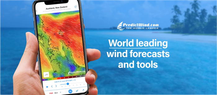
PREDICT WIND - Professional Passage Planning for Offshore Sailors .
For serious passage planning to and around New Caledonia, PredictWind is the tool I recommend above all others. It runs four weather models simultaneously so you can compare forecasts and get a real sense of how reliable the predicted weather window actually is — critical when you're committing to a 500+ mile offshore passage or planning your anchorages in New Caledonia.
The routing optimisation feature calculates the fastest and safest route based on your yacht's polar data and the forecast, something no free weather site comes close to matching. PredictWind has two Apps for your tablet or phone
I've been using and recommending PredictWind to offshore sailors since 2011 and the latest advancements open a whole new era of sailing weather accuracy and safety.
Short term Weather Forecasts
The best quick look at the current New Caledonia weather (in addition to looking outside).
New Caledonia Weather forecasts
New Caledonia Meteo
Lagoon Forecast
Animated wind, rain, cloud, wave graphs
Weather Chart
Noumea Weather
Satellite image animation
Cyclone track
New Caledonia Tide Tables
New Caledonia Noumea Tide Tables and Moon Calendar for planning your cruises
New Caledonia Media Weather
Noumea FM Radio Weather
(89 FM) 05:58, 14:58
TV Weather Tele Nouvelle Caledonie -before and after the evening news.
New Caledonia VHF CH 66 Radio Weather Schedule -
The 17 coastal VHF stations broadcast the Weather bulletin for the lagoon on Ch 66 every hour. To prevent interference, the stations broacast at different intervals. If your yacht is within range of two stations you'll hear the lagoon bulletin twice every hour. The high seas forecast is broadcast 12 minutes after the lagoon bulletin.
The Cruising Guide to New Caledonia has the broadcast times for every anchorage as well as a graphic chart showing VHF coverage in the lagoon and out to sea.